
Last Updated on July 14, 2025
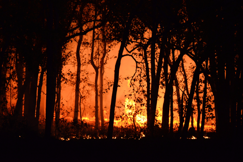
The devastating Los Angeles wildfires of 2025 are projected to cause unprecedented damage of $52-57 billion, surpassing all previous wildfire events in U.S. history. As thousands of residents face evacuation orders, having a reliable family tracking system isn’t just convenient – it’s crucial for survival. Having a solid evacuation plan is critical during LA wildfires. Learn how to create your family evacuation plan using GPS location tracking for real-time safety updates.
Understanding the Current Wildfire Threat
The 2025 LA wildfires represent a 73% increase in damage costs compared to previous Western wildfires, and this escalation highlights the critical need for advanced preparation and real-time family tracking during evacuations.
Key Statistics:
- $52B projected damage costs
- Highest-ranked wildfire event in U.S. history
- Multiple evacuation zones across Greater Los Angeles
- Thousands of residents potentially affected
Creating Your LA Evacuation Plan with GPS Tracking
1. Digital Safety Network Establishment
Set up your family’s digital safety net before emergency strikes:
Family Circle Creation:
- Install iSharing app on all family devices (cell phones (iPhone and Android), tablets)
- Create unique family circle names for easy identification
- Add emergency contacts with priority settings
- Verify all members have location sharing enabled
- Test app functionality across different devices
GPS Location Sharing Settings:
- Enable continuous location updates (set as ‘Always’)
- Configure battery-saving modes
- Enable location history recording
2. Setting Up Your Family Evacuation Plan
- Create geofenced safe zones at destinations
- Set automatic notifications for arrivals
- Include facility details (hospitals, shelters)
Active Evacuation Procedures
Real-Time Tracking Feature
Location Monitoring:
- Automatic safe zone notifications
- Driving speed and direction monitoring
- Battery level alerts
- Last known location recording
Emergency Communications:
- One-touch SOS alerts to all members
- Emergency chat with read receipts
After Evacuation Plan Completion
1. Family Reunification
Location Verification:
- Automatic safe arrival notifications
- Location history playback
- Time-stamped movement tracking
- Distance track between members
- Safety status updates
2. Ongoing Monitoring
Safety Features:
- Continuous location updates
- Battery optimization mode
- Geofence breach alerts
- Movement pattern analysis
- Inactive alert
iSharing : GPS Tracking Features for Your Evacuation Plan
1. Core Safety Functions
- Real-time GPS location tracking
- Emergency SOS alerts with location
- Battery level monitoring and alerts
- Secure messaging system
- Geofencing with customizable alerts
- 90-day location history
- Cross-platform device support
2. Advanced Features
- Custom alert settings
- Safe Zone – Place setting and sharing
- Battery saving mode
- Emergency contact circle
Emergency Resources for Your Evacuation Plan
Essential Numbers:
- Emergency Services: 911
- LA Fire Department: 213-978-3800
- CalFire Information: 916-653-5123
- Red Cross LA: 310-445-9900
- Evacuation Information: 211
Online Resources:
- LA Fire Department Updates: www.lafd.org
- CalFire Incident Map: www.fire.ca.gov
- Emergency Alert System: www.alert.lacounty.gov
Keep your family safe during wildfire evacuations with iSharing’s comprehensive location tracking features. Download now on iOS and Android app stores.
[Download iSharing Now] Available on:
- App Store (iOS)
- Google Play Store (Android)
#WildfireSafety #EmergencyPreparedness #LAEvacuation #FamilySafety #LocationTracking #EvacuationPlan